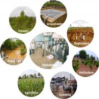
Remote Sensing Data and Services
Operational remote sensing data and services in India were initiated with the launch and commissioning of IRS-1A, the first operational Indian Remote Sensing (IRS) Satellite, in the year 1988. By then, India established an institutional mechanism in the country, namely the National Natural Resources Management System (NNRMS) to drive the country to operationally utilize the data from these satellites. Since then, many IRS satellites were realised by India. Currently, Indian Space Research Organisation (ISRO) operates four series of satellites namely, Resources, RISAT, Cartosat, Oceansat. Meteorological services are provided through INSAT-3D/3DR satellites.
The services offered through NSIL are
- Consultancy Remote sensing application projects
- EO Data & Value-added products
- Training Courses